Goal of Project
The project aims to introduce innovative solutions to sustainable management practices and enhance the capacities of Forest Management Units (FMUs) and local communities on contributing to Indonesia’s emissions reduction targets and improve biodiversity landscapes to support the achievement of the Sustainable Development Goals (SDGs), in particular SDGs 1, 8, 13 and 15. Targeting project sites in the tropical peatland forests of Forest Management Unit of Sorek, in Siak District, Riau Province; mangrove ecosystem of Forest Management Unit Ampang Plampang, West Nusa Tenggara Province; and the karst and lowland ecosystem of Forest Management Unit Bulusaraung, in Maros District, South Sulawesi Province, the objectives of the project are to:
- Establish baseline information by mapping the existing biophysical (spatial-temporal), socio-economic condition (before and after the project), and potency of natural resources in the three study sites in the beginning of the project;
- Facilitate the preparation of business plans of Forest Management Units (FMUs) at the three study sites;
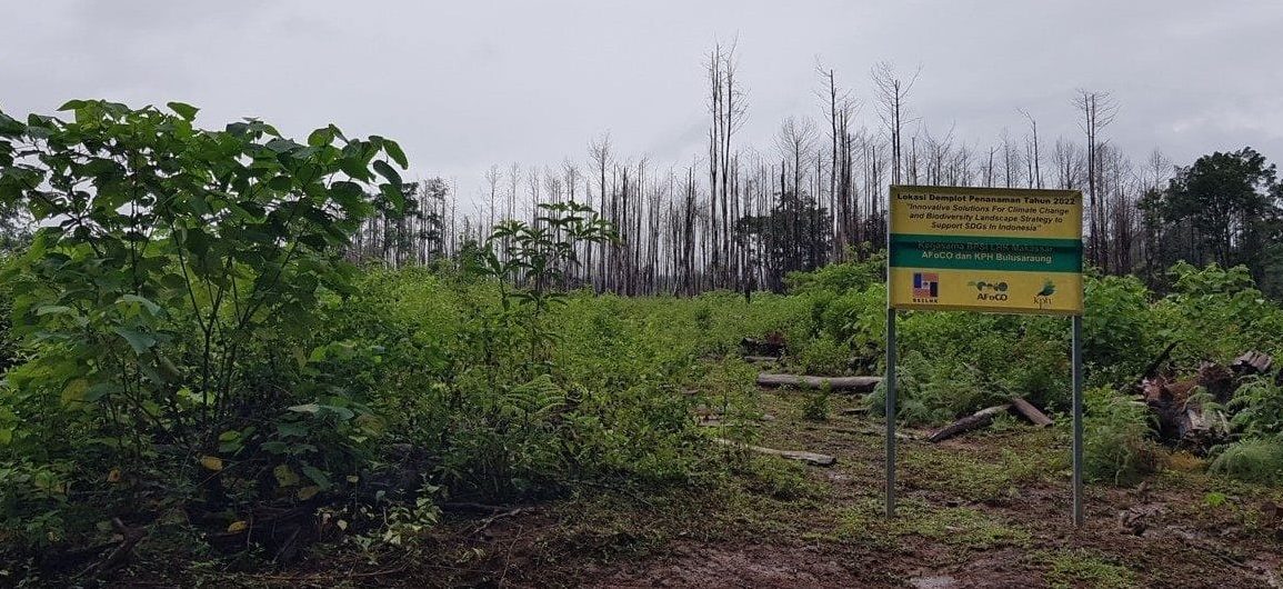
- Develop demonstration plots of at least 10 ha in each study site for carbon stock enhancement in FMUs or Forest Area with Specific Purpose (KHDTK) areas; and
- Transfer techniques and raise awareness of project model establishment to relevant stakeholders through the synthesis of knowledge and experiences, recommendations on policy practices, and dissemination of project outputs.
Main Activities
- Collect and analyze data and information on biophysical conditions including carbon stock and emissions data
- Survey and assess data on socio-economic conditions at the beginning and end of project
- Investigate and conduct value chain and market analyses of potential commodities
- Conduct capacity building on GIS and RS technologies; carbon stock accounting and emissions reduction; ecotourism; and startup and online business for FMU officers and personnel
- Conduct workshops to develop business plans on forest-based ecotourism in each project site and share knowledge through district-level policy dialogues and workshops
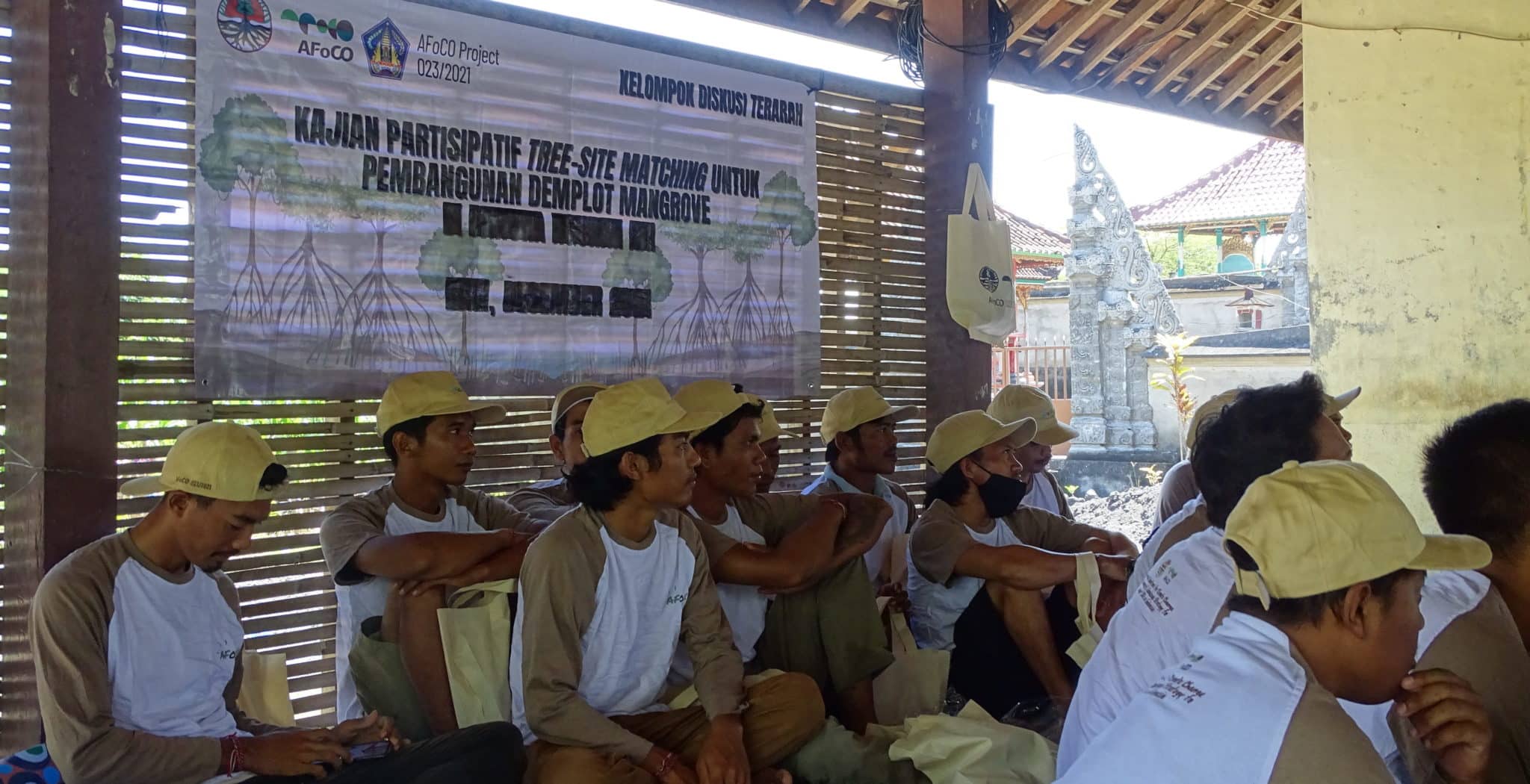
- Carry out discussions at the farmer-level to decide on tree species through participatory approaches and establish demonstration plots at each project site
- Organize workshops for project partners and produce materials for dissemination of knowledge and techniques on the project models
- Carry out regular reporting and project management activities (field trips and PSC meetings) for monitoring and evaluation purposes
Expected Outputs
- Map of existing biophysical condition and baseline data of biophysical condition of three study sites (Riau, West Nusa Tenggara Province, and South Sulawesi) produced through GIS mapping and analysis
- Current status and baseline data of socio-economics condition of three study sites (Riau, Bali, South Sulawesi) made available
- Commodities that have good market opportunities identified in three study sites
- Strengthened capacity of FMUs and community in business plans development at three study sites
- Developed Business Plans of the FMUs in three study sites
- Three sites for demonstration plot establishment appropriately located and technically designed
- Demonstration plots in 3 types area established in three sites at least 10 ha each site
- Demonstration plot at each project site is well maintained and monitored at the interval of 6 months after planting
- Technique and awareness of project model transferred to project stakeholders through workshops, policy briefs and publications


